Flying into the storm
Satellites watch from space; aircraft fly straight through the eyewall to measure what’s inside.
The planes
NOAA’s Hurricane Hunters fly into hurricanes. Their two WP-3D Orion planes are nicknamed “Kermit” and “Miss Piggy”. NOAA Aircraft Operations: Hurricane Hunters
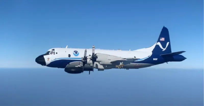
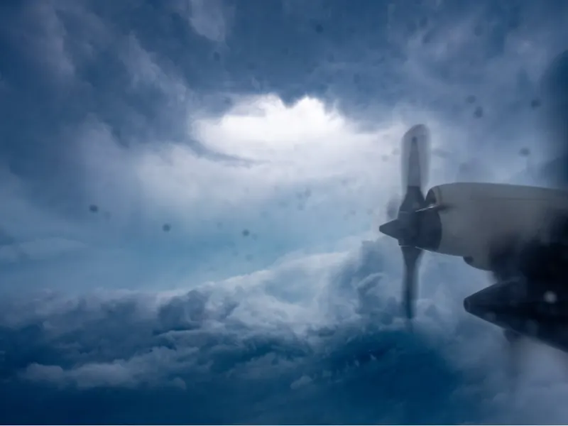
A Hurricane Hunter mission lasts 8–10 hours: through the eyewall into the calm of the eye, again and again. NOAA Aircraft Operations: Hurricane Hunters
Reconnaissance flights mainly find the centre of the storm and measure the central pressure and surface winds around the eye. NOAA Aircraft Operations: Hurricane Hunters
Scientists on board drop GPS dropwindsondes, which send back pressure, humidity, temperature and wind as they fall towards the sea. NOAA Aircraft Operations: Hurricane Hunters
NOAA’s Gulfstream IV-SP jet flies high around the storm, cruising at 45,000 ft, to map the winds that steer it. NOAA Aircraft Operations: Hurricane Hunters
Watching from space
NOAA’s GOES weather satellites, built by NASA, watch hurricanes from 22,300 miles above Earth. NASA Space Place: How do hurricanes form?
Infrared satellite pictures show the temperature of cloud tops: the colder the top, the higher the cloud reaches. NOAA JetStream: Tropical cyclone introduction
Only since satellite pictures arrived in the 1960s have we been able to count, track and watch these storms properly across the oceans. NOAA JetStream: Tropical cyclone introduction
Forecasting
The US National Hurricane Center forecasts all tropical cyclones in the North Atlantic and the north-east Pacific east of 140°W. National Hurricane Center: FAQ
Once a tropical depression is spotted, forecasters send out a series of advisories giving its expected track and strength. Met Office: Tropical cyclone warnings
After a hurricane passes, the sea behind it is cooler, because the storm has taken heat from the ocean. NOAA JetStream: Tropical cyclone introduction
Next: around the world →